Alabama Skies: Tornadoes, large hail possible Wednesday
Published 9:29 pm Tuesday, June 13, 2023
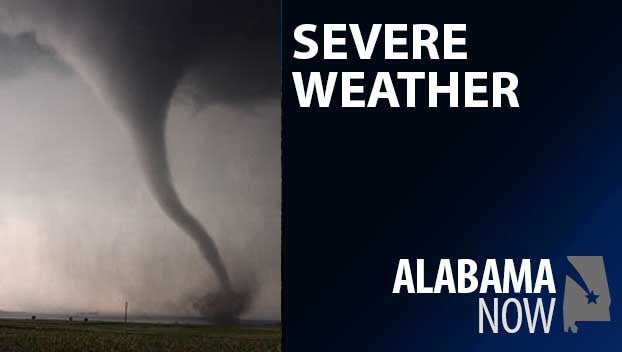
Tornadoes and hail up to the size of baseballs are possible in parts of Alabama Wednesday.
The threat level has increased for a large portion of Alabama and now includes a “tornadoes possible” tag. A Level 3 stretches from Tuscaloosa to Clanton to Auburn south towards a line from Grove Hill, Burnt Corn, and Andalusia. Severe storms are likely with hail up to baseball-size, damaging winds up to 70 miles per hour, torrential rainfall, and tornadoes all possible.
A Level 2 covers the line from north of the Level 3 up to a line from Hamilton to Gadsden and south to nearly the Gulf Coast. The Level 2 risks are the same as Level 3, but not as likely or widespread.
A Level 1 covers right along the Gulf Coast and northern Alabama with the same risks as above, but not nearly as widespread or likely as the other zones.
Storms are possible anytime Wednesday with the strongest storms more likely in the afternoon and evening.
North Alabama
A few showers and storms early, then showers and storms likely in the afternoon. Partly sunny with a high of 82. Mostly cloudy Wednesday night with more showers and storms. Low of 64.
Central Alabama
Mostly cloudy with showers and storms likely. Some storms could be severe with large hail and a tornado or two. High of 82. Mostly cloudy overnight with showers and storms. Low of 64.
South Alabama
Showers and thunderstorms are likely, especially in the afternoon. High of 87. Wednesday night, more showers and thunderstorms with a low of 67.
Gulf Coast
Partly sunny with showers and storms likely in the morning. High of 88. Mostly cloudy overnight with a few more showers and storms. Low of 76.


