Alabama Skies: Gulf low could bring tornadoes, damaging winds upstate today
Published 1:30 am Thursday, April 13, 2023

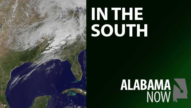
That curious low that’s been hanging around the northern Gulf of Mexico the past couple of days is finally on the move, bringing with it more showers and storms that will remind people of a weak tropical depression.
A Level 1 risk has been added for today all the way from the coastal region to the I-22, I-20/59, and I-65 corridors in north central Alabama. This risk area includes the potential for damaging winds up to 60 miles per hour, a tornado or two, and torrential rainfall.
A widespread severe weather event is not expected today, but any point in the risk area could experience an isolated to scattered severe weather event.
Most places could have wind gusts up to 25 or 30 miles per hour, even away from storms.
North Alabama
Showers and thunderstorms with a high near 70. Mostly cloudy tonight with a few remaining showers and storms. Low of 59.
Central Alabama
Showers and thunderstorms with a high of 69. More scattered showers and thunderstorms tonight with a low of 58.
South Alabama
Showers and a storm or two. High of 75. Showers and a few more storms tonight. Low near 57.
Gulf Coast
Partly cloudy with a few showers and thunderstorms. High of 73. Mostly cloudy tonight with a slight chance of a shower or thunderstorm. Low of 59.