Alabama Skies: The latest info about tonight’s severe threat
Published 1:30 am Friday, March 31, 2023

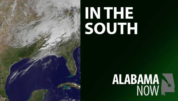
The Storm Prediction Center and National Weather Service offices in Birmingham and Huntsville are continuing to monitor the potential for some severe weather tonight. The threat for severe storms is expected to begin in northern parts of the state about 10 p.m. and end in the south-central region by 7 a.m. Saturday.
At the latest update, a Level 3 now includes Florence, Russellville, Decatur, and Hamilton. A line of storms is expected to enter the state before the arrival of a cold front, bringing a threat of damaging winds up to 60 miles per hour, hail, and tornadoes.
A Level 2 threat now includes Huntsville, Cullman, Gadsden, Birmingham, Tuscaloosa, and just north of Demopolis. The risks in this area are the same as Level 3, but not as widespread.
A Level 1 includes Demopolis, Selma, Clanton, Anniston, and Alexander City. Damaging winds up to 60 miles per hour and a tornado or two are possible.
Otherwise, it’s going to be quite warm and humid today ahead of the cold front.
North Alabama
A couple of showers today with a thunderstorm possible later. Mostly cloudy with a high of 76. Showers and thunderstorms likely tonight with some possibly severe. Low of 61.
Central Alabama
A few isolated showers with partly sunny skies today. High near 80. Showers and thunderstorms tonight with some storms possibly severe. Low of 59.
South Alabama
Partly sunny with a high of 82. Tonight, showers and possibly a thunderstorm. Low around 65.
Gulf Coast
Partly cloudy with a high near 80. A slight chance of showers tonight with a low of 69.