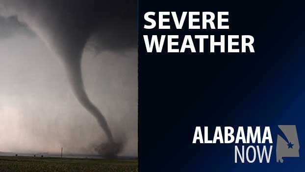
Alabama Skies: Two separate rounds of severe weather possible today
Published 1:30 am Sunday, March 26, 2023
As we continue with a threat for some severe weather this morning, the stronger potential for some rough weather comes this afternoon and evening.
A Level 3 risk covers southwest and south-central Alabama, including Demopolis, Selma, and Montgomery. Damaging hail, damaging winds, and tornadoes are all possible.
A Level 2 risk circles the Level 3 risk and includes Clanton, Alexander City, Auburn, Troy, and Eufaula. This risk area includes the same threats to a lesser extent.
Finally, a Level 1 risk area includes Tuscaloosa, Birmingham, Gadsden, and Anniston. Hail and damaging winds are the main threats in this zone.
The threat for severe weather continues overnight through about 4 a.m. Monday for southern parts of the state. It begins about 4 p.m. for central parts.
North Alabama
Sunny with a high near 80. Showers and possibly a thunderstorm are likely tonight. Low of 58.
Central Alabama
A chance of showers and thunderstorms. Some storms could be severe, especially later in the afternoon. High of 77. Showers and thunderstorms tonight with a low of 60.
South Alabama
Showers and thunderstorms likely with severe storms possible, especially in the afternoon. High of 76. Showers and storms continue tonight with more severe weather possible. Low of 63.
Gulf Coast
Showers and thunderstorms with a high near 80. Tonight, scattered showers and thunderstorms with a low of 66.


