Alabama Skies: Severe storm, tornado threat hanging on for parts of the state
Published 1:30 am Thursday, February 9, 2023

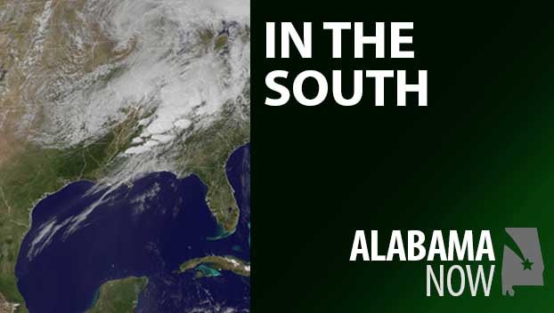
The severe threat remains for most of Alabama this morning. We’re under a Level 1 marginal risk across the state which means an outbreak of severe weather isn’t expected, but there is a chance of an isolated tornado, hail, damaging winds up to 60 miles per hour, and flash flooding. The risk map is an off area, going down across western Alabama from the Tennessee border to Birmingham, Clanton, and Selma, then curves to include the eastern parts of Alabama from Montgomery to Eufaula and south.
The severe threat will end for most of the state by 10 a.m., but storms could stay on the strong side near the Gulf Coast and extreme southern Alabama through the afternoon.
North Alabama
Storms ending about 10 a.m. with showers leaving the area by noon. High of 65 with wind gusts up to 40 miles per hour. Tonight, increasing clouds with a low around 41.
Central Alabama
Showers and thunderstorms through midday, then showers through the afternoon. Breezy and cool with a high of 61. Partly cloudy tonight with a low near 44.
South Alabama
Showers and thunderstorms with a high near 68. Showers and possibly a storm tonight with a low near 50.
Gulf Coast
Showers and thunderstorms with a high near 68. Tonight, showers and a few storms with a low near 53.