Alabama Skies: Clouds, rain today with chance of severe storms tonight
Published 1:30 am Wednesday, February 8, 2023

We’ve been watching the possibility of severe weather for several days now, and we finally have some timing and threat details.
Fortunately for Alabama, storms will weaken as they head east. It looks like the stronger storms and larger threat will be for our friends in Mississippi. Still, there is a Level 1 threat for severe weather across our state late tonight.
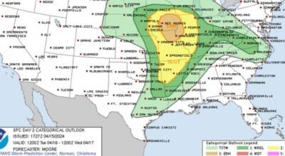
According to the Storm Prediction Center, much of Alabama is under a marginal threat for damaging winds up to 60 miles per hour and a few tornadoes. The strongest threat is for the western part of the state, basically following an I-65 and west line. The strongest of the storms are expected between midnight tonight and 6 a.m. Thursday.
It’s also going to be very warm with southern counties reaching temperatures of near 80!
North Alabama
A few isolated showers earlier, becoming more widespread later in the morning. Mostly cloudy with a high near 70. Wind gusts up to 25 miles per hour. Tonight, rain and thunderstorms. With a low of 56. Wind gusts up to 35 miles per hour.
Central Alabama
Partly sunny with an isolated shower or thunderstorm with a high of 74. Rain likely tonight with a few storms and a low of 59.
South Alabama
Partly cloudy with an isolated shower or thunderstorms. Wind gusts up to 20 miles per hour and a high of 78. Tonight, scattered showers and a low of 62.
Gulf Coast
Patchy fog early. Mostly cloudy with a high of 74. A slight chance of an isolated shower or thunderstorm. Tonight, scattered showers and thunderstorms late with a low of 61.